














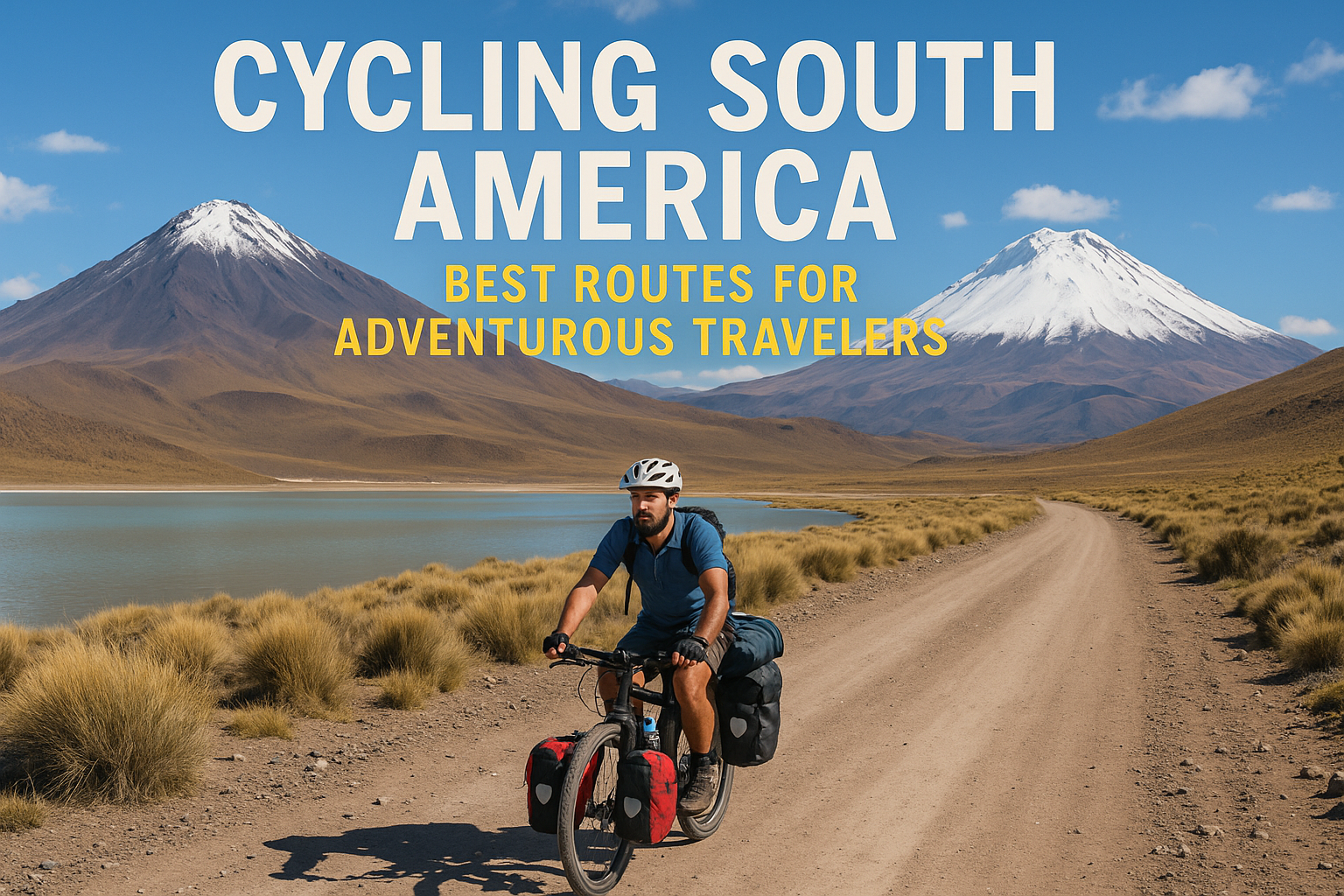
I still remember the moment my tires started crunching over grit at 3,500 meters. It wasn’t dramatic. It was just quietly relentless. I went looking for “big views,” and I ended up learning what adventure actually feels like—altitude that slows your breathing, hospitality that helps you recover faster, and a landscape that keeps demanding your attention. That mix of challenge and welcome became the backbone of every cycling route I chose across South America afterward.
In this article
- The first time I pedaled into South America: what “adventure” really feels like
- Patagonia’s big ring: Torres del Paine to the end of the world
- The Andes by bicycle: choosing altitude-friendly routes without romanticizing pain
- Atacama to the coast: desert grit, ocean fog, and the art of resupply planning
- Amazon edges and lake country: when “easy” terrain still demands serious preparation
- What to track before every day’s ride: distance, weather windows, and bailout options
- Riding with people, not just through places: etiquette, language basics, and safety instincts
- When your route doesn’t go as planned: how to adapt without losing the adventure
- Pedal onward: the kind of confidence South America gives adventurous travelers
The first time I pedaled into South America: what “adventure” really feels like
The Andes taught me fast. One afternoon I climbed out of a valley where the air felt normal, then the road pitched upward and my heart started negotiating with my lungs. Dust coated everything—chain, spoke nipples, the backs of my hands, and when I pulled over to let a lorry pass, my breathing sounded louder than the wind. A family stood right off the road, sliding empanadas onto a plastic table like I’d been part of their day from the start, even though I was on a borrowed mission.
Right before a mountain pass, there’s this sudden hush that comes from sound carrying differently at altitude. The chatter from other cyclists dies down. The birds go quiet. Even the tires feel like they soften as the surface changes under your weight. Then the pass appears, switchbacks carved into the slope, and you realize adventure is mostly logistics: managing effort so you don’t gamble your safety, accepting help without turning it into a performance, and treating the places you ride as more than scenery for your story.
If you want routes that feel “real,” choose them with care instead of treating them like a checklist. Check access points where you can actually eat, sleep, and get parts. Pay attention to how weather might reshape the roads within hours. And plan for cultural awareness as part of how you move, not something you only remember when it’s time to take photos. The rides I enjoyed most never felt like stunts, they felt like traveling slowly enough that the road noticed you back.
Patagonia’s big ring: Torres del Paine to the end of the world
My first multi-day circuit through Patagonia’s wind-swept southern landscapes didn’t feel heroic, it felt like working through weather. The first day had that calm you see on postcards, the kind where your mind drifts ahead to “how far we’ll get.” Then gusts started hitting from the side, pushing at my shoulder every few minutes like someone walking up to me. By day two, distance stopped being the point and patience became the job.
There’s a difference between being tired and being tense, and Patagonia has a way of turning one into the other if you don’t ride with humility.
Ranger stations and protected-area rules are part of what keeps Patagonia’s magic intact, and locals treat those boundaries like normal life, not something to show visitors for fun. I learned to roll in clean and ready for checks: bikes brushed down, gear stowed properly. Staff weren’t trying to slow anyone down; they were making sure things stayed safe. Planning came with local rhythms too, bakeries that open at dependable hours, quiet streets where people expect respectful movement around parks, and conversations that turned practical right away when animals or wind became the topic.
Timing matters because wind doesn’t wait for your schedule. When forecasts show calmer windows, it makes sense to start earlier while conditions are still settling. Resupplies take discipline, Patagonia punishes sloppy assumptions. Don’t assume you can “just find something” because a map looks open; Patagonia rewards riders who plan meals with redundancy. Safe pacing is less about ambition and more about how quickly conditions flip. If clouds thicken or gusts rise, shorten your target and save energy for finishing strong instead of forcing an early win.
The Andes by bicycle: choosing altitude-friendly routes without romanticizing pain
I used to treat altitude like a badge of honor. After a rough week where every incline felt personal, the whole attitude needed changing. Elevation became a logistics problem, not a test, slower climbs turned into smarter climbs. Rest days stopped feeling optional and started serving the bigger goal. Daily totals got smaller so the body could keep running instead of wobbling through each day.
You’ll still work hard in the Andes, but you’ll do it with enough room to enjoy towns, markets, and that familiar momentum after each descent. There’s a practical example of this in Best of the Swiss Alps.
Route choice decides whether altitude feels like steady effort or nonstop suffering. High passes can look “efficient” on paper because they link valleys quickly, but roads often kick up sharply near towns where traffic, damaged pavement, and inconsistent signage slow you down. Valley riding tends to feel smoother since gradients average out, until headwinds show up across open stretches.
And here’s where conventional advice often goes too far: chasing “most gradual” routes isn’t automatically better if it forces long exposure to wind and low-grade fatigue. Shorter can be harder when elevation gain piles up right when services are scarce before dark.
My rule stays simple: plan for how the ride will actually feel, not just the kilometers listed on a map app.
At altitude, fueling cadence really matters. Appetite can disappear while effort stays high, so go with smaller portions more often; many riders aim for something like every 30–45 minutes, then keep drinking steadily even if cool air dulls thirst. Dry conditions change the equation too, carry enough that you don’t get forced into late stops, and use electrolytes if sweat tastes salty fast. Gear helps here as well: tires that handle loose rock or sanded asphalt, brakes that can survive long descents without fading, and layers that let you adjust temperature swings without stopping every ten minutes.
Atacama to the coast: desert grit, ocean fog, and the art of resupply planning
The first time I cycled under a sky so clear it felt unreal, I couldn’t shake the feeling someone had airbrushed the horizon. Then the road shifted into a wind-and-sand corridor, and “desert” started meaning visibility limits and unpredictable surfaces. A gust slammed into my side, and I checked my line twice before trusting it again. After a while you start reading the place automatically: tire tracks in certain directions point to safer shoulders, fence lines tell you where roads hold up, and fog banks near the coast change how wet pavement behaves under your brakes.
Small cultural rhythms show up constantly along the way. Indigenous traditions influence food habits and the way people host travelers, and mining-town schedules affect when you can buy water, charge devices, or find someone who understands bicycle-specific problems. Signage can be thin. Sometimes you learn more from watching how locals move than from chasing a map pin. Even meal stops become mental checkpoints, when you’re dehydrated or restless, a warm bowl tends to settle your body faster than caffeine ever does.
In Atacama-to-coast cycling, resupply planning decides whether the ride stays manageable. Water strategy has to be extra cautious because gaps between reliable stops can end up longer than you expect once wind starts costing you more effort.
If gaps between reliable stops are longer than expected once wind starts costing more effort, then backup points should be picked before a long day begins, not after thirst already hits.
Pick backup points before a long day begins, not after you’re already thirsty. Timing matters too: mornings can look calm until harsher afternoon wind kicks in, and ocean conditions can shift fast into cold fog that drags energy down if you’re riding without layers.
Amazon edges and lake country: when “easy” terrain still demands serious preparation
I used to think an “easy” route would feel like recovery, flat stretches near water, short climbs at most. By noon, humidity had turned that idea into a mess. It stuck to my jersey like wet fabric glue, and every exposed seam became an invitation for insects.
Then a swollen river crossing showed up where yesterday’s low water probably looked manageable. Today it called for a careful detour, or extra time that wasn’t available anymore. The ride didn’t get hard because of elevation; it got hard because conditions changed midstream.
Wet environments come with specific problems. Surfaces can turn slick or develop washboard texture after rain; navigation gets messy when markings disappear under vegetation; glare off water can hide ruts until you’re close enough to brake safely.
Local knowledge helps more than people tend to admit, community guides and bike-shop owners usually know which routes flood fastest after storms and which bridges hold up for loaded touring bikes.
Ask early.
Waiting until you’re already stuck turns uncertainty into stress.
Bike protection matters every time humidity hangs around all day. If there are fenders available, use them. Keep drivetrain parts covered where you can, and plan clothing so sweat doesn’t become chill once dusk settles in.
Also build buffer time for delays you can’t control, weather fronts; transport schedules for boats or ferries; detours around damaged roads. In lake country, a good day rarely comes down to speed alone. It’s about showing up with enough energy left to handle whatever the next village throws your way.
What to track before every day’s ride: distance, weather windows, and bailout options
I started riding smarter only after I stopped leaning on optimism miles, the habit of telling myself “we’ll probably make it” until dusk forced actual decisions.
Before each ride, track three things on purpose: (1) a realistic daily distance/gradient based on what you’ve actually been doing lately, not what the map looks like; (2) weather timing, wind direction shifts or precipitation windows, not just a general chance of rain; and (3) the nearest bailout town or transport option so you aren’t improvising from scratch.
When a day goes bad, and sometimes it does, adjust quickly instead of bargaining with your schedule. After one miserable headwind stretch that stole two hours from what looked like an easy profile, the system changed: daily targets got lowered on days with strong crosswinds, and an earlier turnaround point was set where bail safely felt possible without self-punishment.
The difference is as much mental as physical: with a plan trusted in advance, calmer calls replace last-minute panic.
- Distance/gradient: pull from your last few days so you’re not guessing your body’s current pace.
- Weather windows: focus on timing for wind strength changes and precipitation windows, not just overall forecast likelihood.
- Bailout options: pick the nearest town for food/shelter and any realistic transport if conditions turn dangerous.
Practical tools keep this straightforward: download offline maps before service drops (data can disappear fast in rural zones), share your route or first planned stop with someone local when you can, and keep a real Plan B that doesn’t depend on heroics, like shortening the day so you’re at lodging before conditions worsen.
Perfection isn’t the goal; fewer surprises is.
Riding with people, not just through places: etiquette, language basics, and safety instincts
The quickest way to get better treatment on the road is simple respect, and it shows before any request comes out of someone’s mouth.
Say hello first, keep your voice down around busy roadside stalls, and ask before filming if someone looks uncomfortable or distracted. In South America, people pick up on tone more than words. If courtesy comes first, directions offered cleanly, water refills handled quickly, you earn trust that keeps things moving later.
A couple sentences can go a long way even when pronunciation isn’t perfect; what counts is rhythm and attitude.
I also picked up language basics that make exchanges smoother: hello and good morning phrases (in Spanish where it makes sense), polite requests like “could you help me,” and short gratitude habits that show you’re giving as much as you’re taking.
If there’s one takeaway from street interactions (and yes, it matters), small gestures cut friction more reliably than trying to persuade your way through it.
Safety instincts come from staying alert once weather shifts. After rain or fog rolls in, especially in humid regions, surfaces can change fast under tires.
Vehicle etiquette helps too: ride predictably within the lane when shoulder space is tight; skip sudden swerves to chase scenic pull-offs unless there’s an obvious safe turnout; check tires after rough gravel so flats don’t turn into emergencies later.
When it comes to money and valuables: keep them secured but easy to reach. Carry only what’s needed for the day, and store emergency documents somewhere separate from main pocket.
When your route doesn’t go as planned: how to adapt without losing the adventure
Detours have taught more than any perfect plan ever did. One time, a forecast change led to road closures near a pass approach just hours earlier than expected. Another time, a mechanical problem turned into an unexpected afternoon of conversation because someone helped improvise a fix, using tools that weren’t built for bicycles yet still worked.
Sometimes the road ends sooner than you thought; those moments can become memories cared about most.
Rerouting decisions should match terrain. Valleys can be safer when passes are uncertain due to snow or heavy rain. Passes are worth it only when conditions support steady climbing without risky descents.
It’s smart touring math to trade distance for safety: arriving tired but intact beats arriving proud and wrecked every time. Beautiful mountains worth to climb digs into that specific problem. The longer version of this argument is in Best cruises around the world.
And when conditions demand it, transport for a leg may be worth considering, taking a truck or shared ride for a short stretch, to keep rhythm while respecting what’s going on around you.
This is flexibility without chaos: build structure so morale doesn’t slide. Leave room in schedule so delays don’t turn into frantic catch-up days. Keep morale up by tracking small wins, a repaired chain counts as progress even if staring down a distant endpoint isn’t happening yet.
Local recommendations usually update plans faster than arguing over old assumptions. Ask shopkeepers or other travelers what changed today, then adjust accordingly.
Pedal onward: the kind of confidence South America gives adventurous travelers
The confidence South America gives comes less from speed and more from decision-making under stress.
Confidence doesn’t come from taking on everything at full speed. It comes from learning how to keep moving responsibly when conditions get complicated, wind gusts on exposed ridgelines; altitude fatigue in thin air; fog that hides turns just long enough to demand extra caution.
The most important practice is starting easier than ego wants. Start with one route that fits current fitness level and tolerance for uncertainty during that season, then practice one practical preparation plan before leaving home.
This week, pick one move that’ll make next ride easier: download offline maps for your first corridor (for example, using Google Maps offline area downloads), check tire tread and brake pads in daylight so wear clearly shows up early, or write down three bailout towns along planned days so calm decisions happen if weather shifts.
Which corridor are you thinking about right now, the Andes high passes, Patagonia’s protected wilds, Atacama’s desert-to-coast fog route, or a greener stretch along a lake?